6,476m/ 21,247 ft
MAX-ALTITUDESolukhumbu,Nepal
LOCATIONGROUP-SIZE
Minimum 02 paxDIFFICULTY
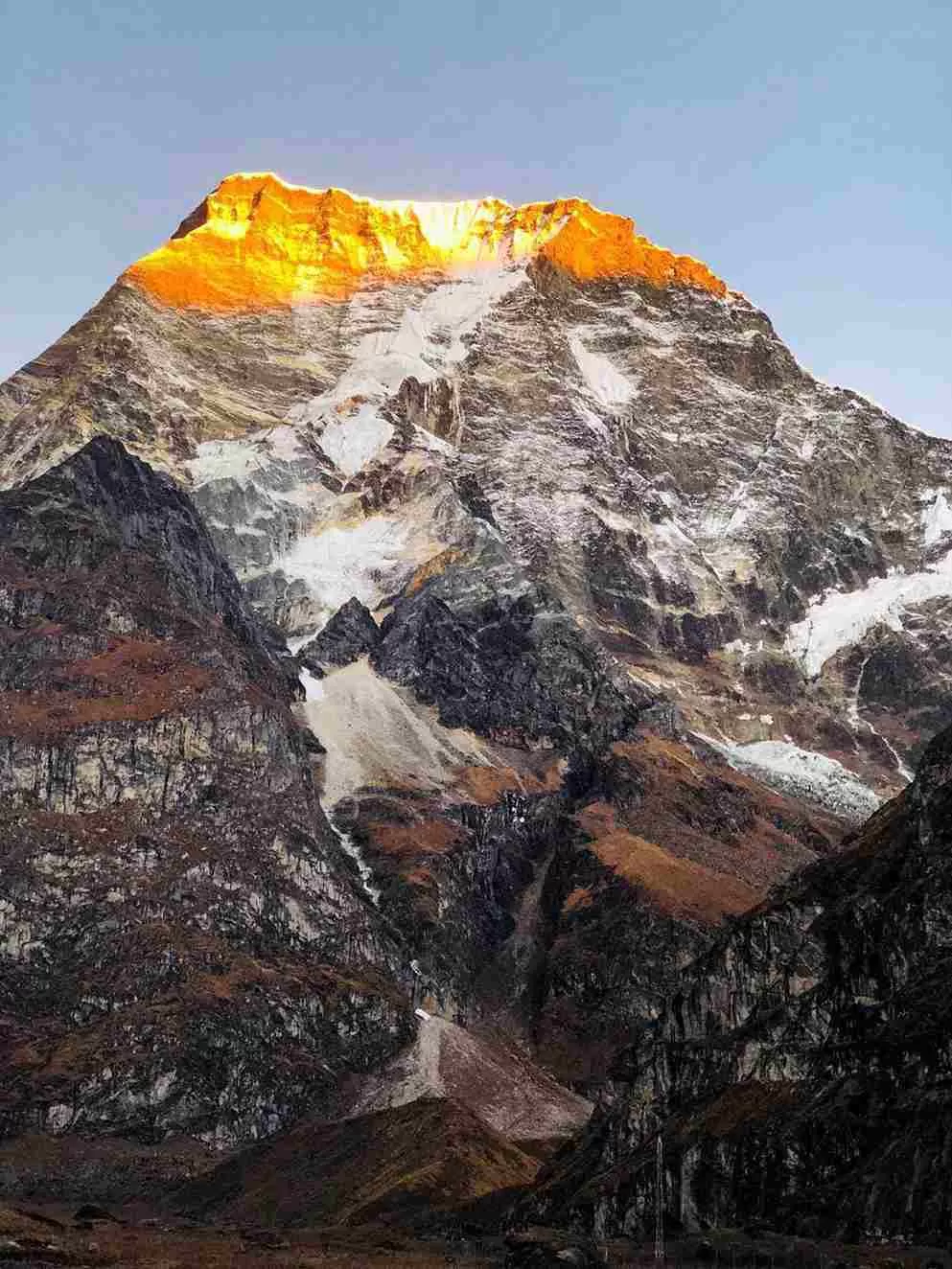
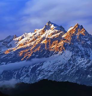
StrenuousIt should also be noted that there is a discrepancy between the official height given by the Nepal Mountaineering Association (6,654m / 21,831ft) and Schneider map (6,476m/21,247ft). Col. J.O.M. Roberts and Sen Tenzing made the first ascent of Mera on May 1953, by the now Standard route from the Mera La. It was during this season that Roberts made the first western exploration of the Lumding, Hinku (Inukhu) and Hongu valleys. It appears that Mt. Mera did not receive a Subsequent ascent until 1975 when French climbers Marcel Jolly, G. Baus and L. Honills climbed the North peak, following the same route as Roberts but traversing along the connecting ridge to the further Summit.
Itinerary
Arrival in Kathmandu.
Arrive in Katmandu Tribhuvan International Airport and meet, assist and transfer to the hotel by a representative from Himalayan Holidays.
At the hotel a short briefing about the trek and then check into the room.
Eve: Welcome Drinks and Dinner at an authentic Nepali restaurant.
Overnight at hotel.
Free day in Kathmandu.
Free day to explore Kathmandu City and final packing for the trek.
Overnight at hotel.
Fly to Lukla & Trek to Chutanga.
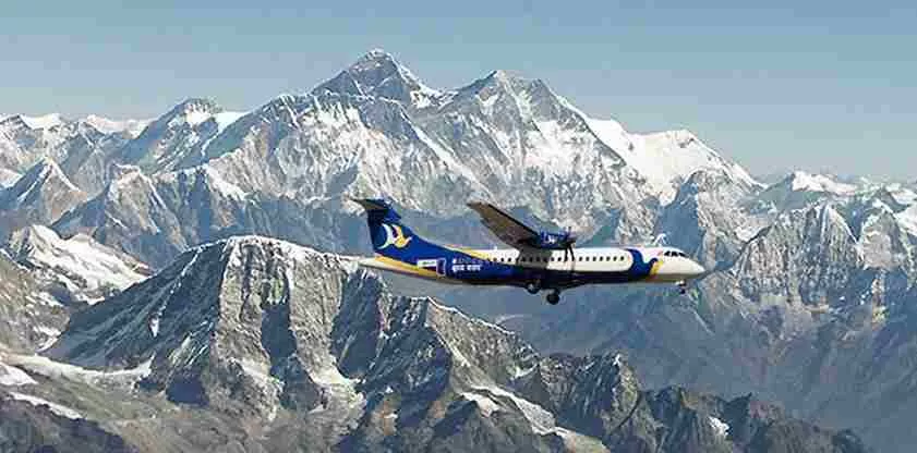
Early morning transfer to the domestic airport for the scenic 40 minutes flight from Kathmandu to Lukla “the Gateway to Mt. Everest”. On arrival at Lukla, met by Sherpa team and start trek to Chutanga: From Lukla the path traverses south- east through forest, crossing several cascading streams. Above are a semi- circle of attractive rock peaks that form the ridge of the Kalo Himal, dividing the Khumbu valley from the Hinku. This unlikely looking ridge has two passes, the Zatr Teng (4,943m/16,311ft) and the Zatrwa La (4,600m/15000ft).
The latter, with its gentler approach, is the more reliable –but be wary of the Zatr Teng when there is fresh snowfall on the Kalo Himal ridge. For those flying to Lukla it is advisable to camp for a day or two below pass mainly for acclimatization. In a forest clearing between streams near Chutanga are some huge boulders from where you can explore the slopes towards Gonglha. It has a magnificent position that looks out over the Dudh Kosi towards Karyolung (6,511m/21,362ft), Numbur (6,959m/22831ft) and the south-east flank of Nupla.
Overnight at Camp.
Chutanga to Tuli Kharka.
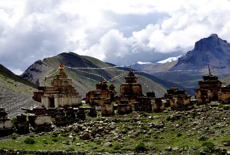
The trail passes through a small notch just east of the Zatr Og on the Sebuk Danda ridge. From the notch the path traverses rugged, rocky country south- east below the ridge, rising gently to the Zatrwa La, marked by mani and chorten. The landscape is wild rocky and impressive. On the far side of the pass the hillside falls steeply to the Hinku Dranka. The, path not so well defined at first, drops toward a rugged, stream- filled, boulder strewn valley. Tuli Kharka (4,400m/14,436ft) is a good site for camp.
Overnight at camp.
Tuli Kharka to Tashing Ongma.
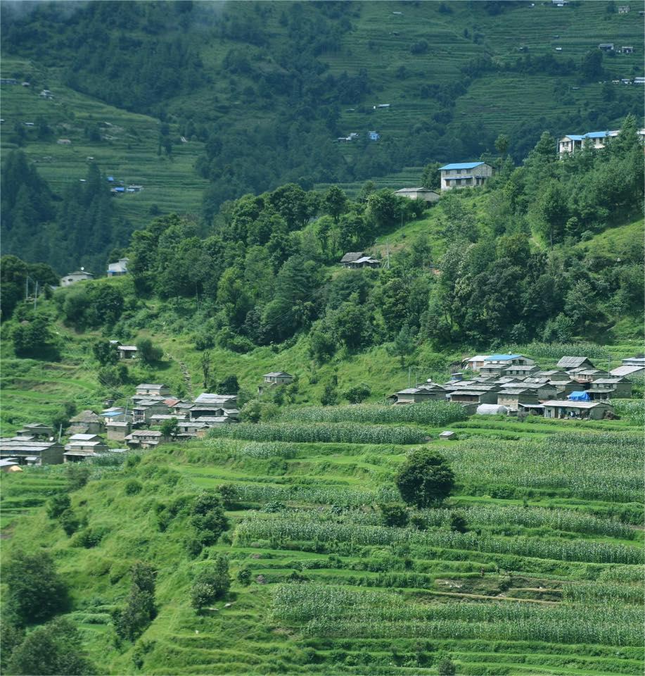
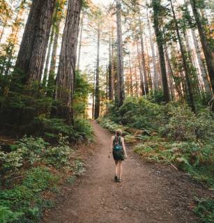
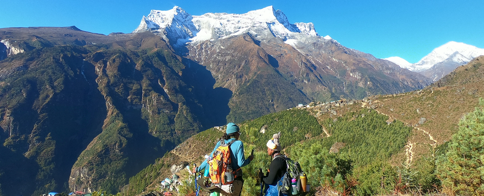
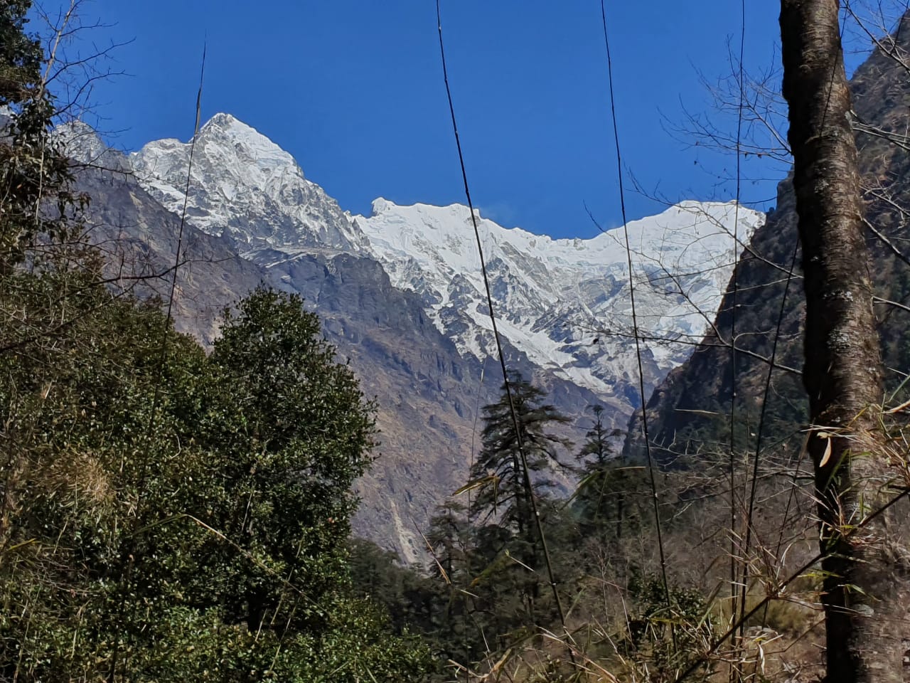
From Tuli Kharka the path traverses the hillside, first south- eastwards, crossing several spurs. The path is steep, and care should be taken crossing scree- filled washouts where the path may be ill- defined and loose. There are several points on the trail that give good views up the steep sided Sanu Drangka to the South face of Mera. The Hinku hillsides hold abundant forests of tall blue Himalayan pine, hemlock, birch and luxuriant rhododendron. Before the trail re enters the forest after crossing the streams near Tashing Dingma, a multitude of alpine scrub zone plants decorate the hillside including the unusual ‘snowball flower’ (Saussurea gossypiphora). After traversing a while the path descends steeply through dense forests to the river. Branching rhododendron crouch over the trail swathed in tattered Usnea lichen which hangs like an old man’s beard from their limbs, filtering the sunlight and waving like weathered prayer flags in the wind. Tashing Dingma is a good camp spot at 3500m.
Overnight at Camp
Tangnag.
The path now follows the west bank of the Hinku Drangka northwards, gradually climbing via the kharkas of Godishung, Dupishung and Lungsamba. There are but a few buildings that are used during the monsoon when the valley provides good grazing for animals driven up from the south. Not far from the Godishung, beneath a great rock overhang, is a small gompa with a Buddha and several Buddasatva and prayer flags. Beyond Lungsamba the valley narrows between the flanks of Kusum Kanguru (6,369m / 20896ft), to the west and the truncated far western peak of Mera (6,255m / 20,522ft) to the east, a magnificent 1,800 meter rock face cut by diagonal snow bands and draped with fingers of ice- some trekking peak! This was first climbed by Japanese climbers Kunihiko Kondo and Michiko Kiyoda in 1985 spring.
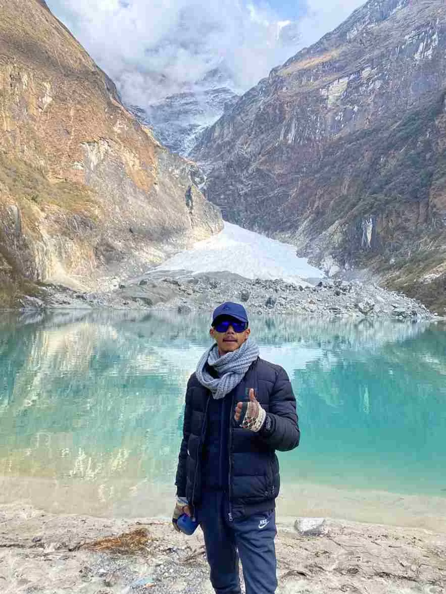
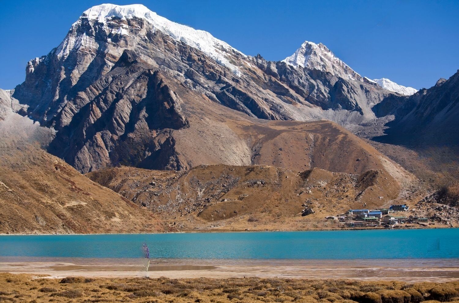
Tangnag in a superb setting, surrounded by stunning peaks. In particular, peak 43, which rises to 6,769 meters (22,208ft) north-west of Tangnag. Just north of Tangnag is a huge moraine behind which is dammed a beautiful glacial lake; the Sabai Tsho, into which plummets the hanging Sabai Glacier. This helps you to acclimatize well.
Overnight at Camp.
Tangnag to Dig Khare.
From Tangnag the valley steepens and bends sharply to the east where the path follows the lateral moraine of the Dig Glacier to Dig Kharka. Once again the setting is spectacular with the view dominated by the abruptly terminated crest of the Charpati Himal that forms peak 43. From Dig Kharka one can explore northwards along the Hinku Glacier and the approach route to Kangtega which was climbed by a joint American / New Zealand expedition in 1963. From Dig Kharka the path finds a way through moraines and across streams at the snout of the Hinku Nup and Shar Glaciers and then climbs more steeply to Khare (5,099m/16729ft), at the start of the Glacier that leads to Mera La.
Overnight at Camp.
Khare to Base camp.
A well- defined snow ridge on the right bank of this ice tongue usually leads in an arch toward the Mera La (5,415m/17,767ft) without difficulty – other than increasing altitude. However as the glacier levels out near the col care should be taken with snow crevasses.
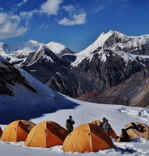
Look out for porters who may trail behind or, as is more often the case, stomp ahead, despite carrying a heavier load. Once again the views from the pass are magnificent. From the col descend for about 100 meters on the Hongu side and site base camp in a gravel and silt flat in the moraine below the ice (5,300m/17,388ft). It’s a good site for early morning sun and there’s plenty of running water during the day.
Overnight at Camp.
Rest day at Base Camp.
Overnight at Camp.
Trek to High Camp
Overnight at Camp.
Summit and back to Base camp.
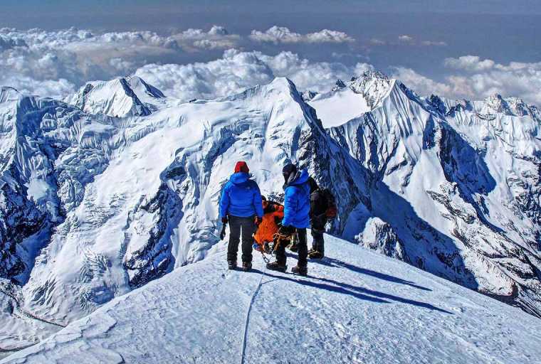
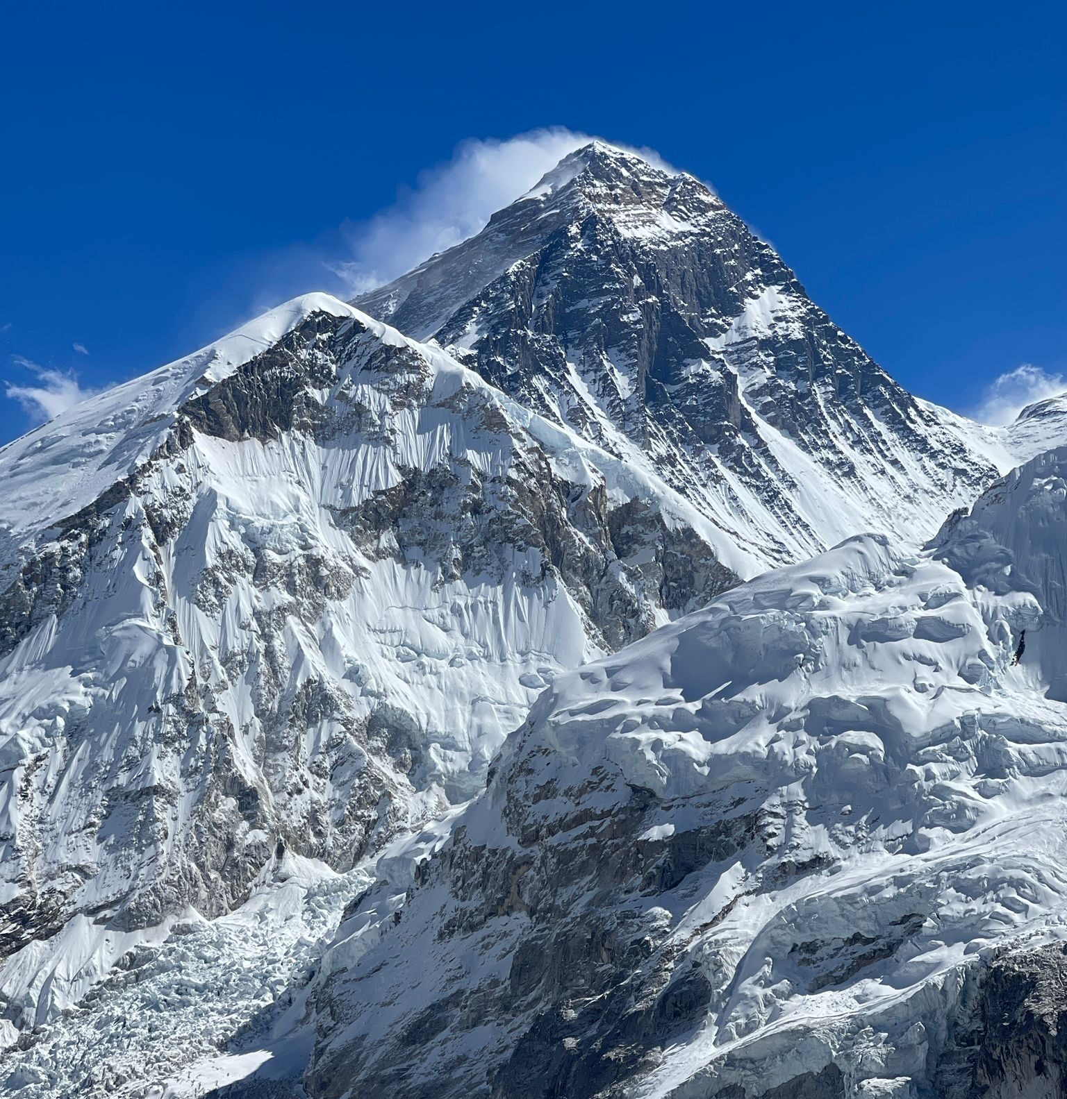
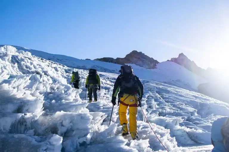
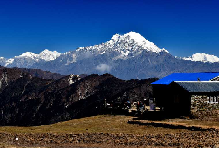
The Climb. From the base camp we proceed towards a high camp at 5,800 meters (19,028ft), near a rocky outcrop on the Mera Glacier. From the Mera La wide snow slopes lead south and south- westward to a rock outcrop that makes the divide between the Mera and Naulekh Glaciers. This place provides an unforgettable panorama of Kanchenjunga, Chamlang, Makalu and Baruntse towards the east while in the north the Everest. Above, the central summit stands at the head of a wide glacier bay flanked by two ridges. Ascend towards the main bay over open snowfields but beware of hidden crevasses. The way then swings back south- east, skirting below and to the east of the left- hand ridge. The way now leads back south-west towards main summit ridge of Mera.
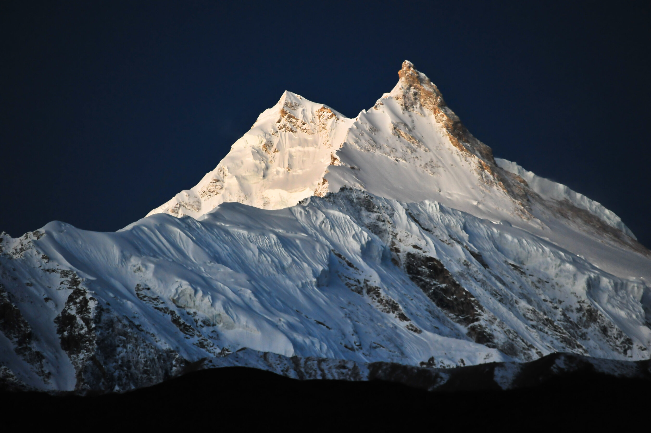
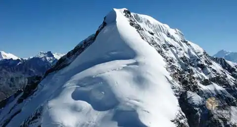
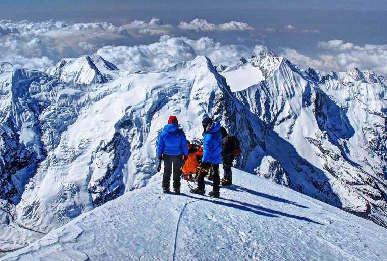
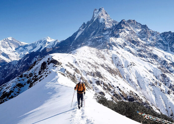
The route actually joins the ridge between what infact turns out to be two of the mountain’s three summits. All three are climbable without much difficulty. The South Summit (6,065m/19,828ft) is the most accessible with the Northern Summit (6,476m/21,247ft) the highest, which can be reached by skirting the Central Summit (6,461m/21,198ft) to the north and following a classic snow ridge to its top. The middle summit provides a slightly more technical ascent. Up steep snow with the possibility of a cornice to overcome on the north side, descend by the same route. Technically Mera North is straight- forward climb, little more than Glacier walking, albeit at relatively high altitude.
Overnight at Camp.
Backtrack to Lukla
Overnight at Camp.
Backtrack to Lukla
Overnight at Camp.
Backtrack to Lukla
Overnight at Camp.
Backtrack to Lukla
Overnight at Camp.
Backtrack to Lukla
Overnight at Camp.
Fly back to Kathmandu.
After breakfast fly from Lukla to Kathmandu. Upon arrival, meet, assist and transfer to the Hotel.
Overnight at Hotel.
Final departure
Free until final departure from Kathmandu.
Got any question or Inquiries about the trip ?
In the morning after breakfast go for a walk and later return for lunch. After lunch the guest are free to rest.
Inclusions
Cost Includes
- All arrival, departure transfers in a private tourist vehicle.
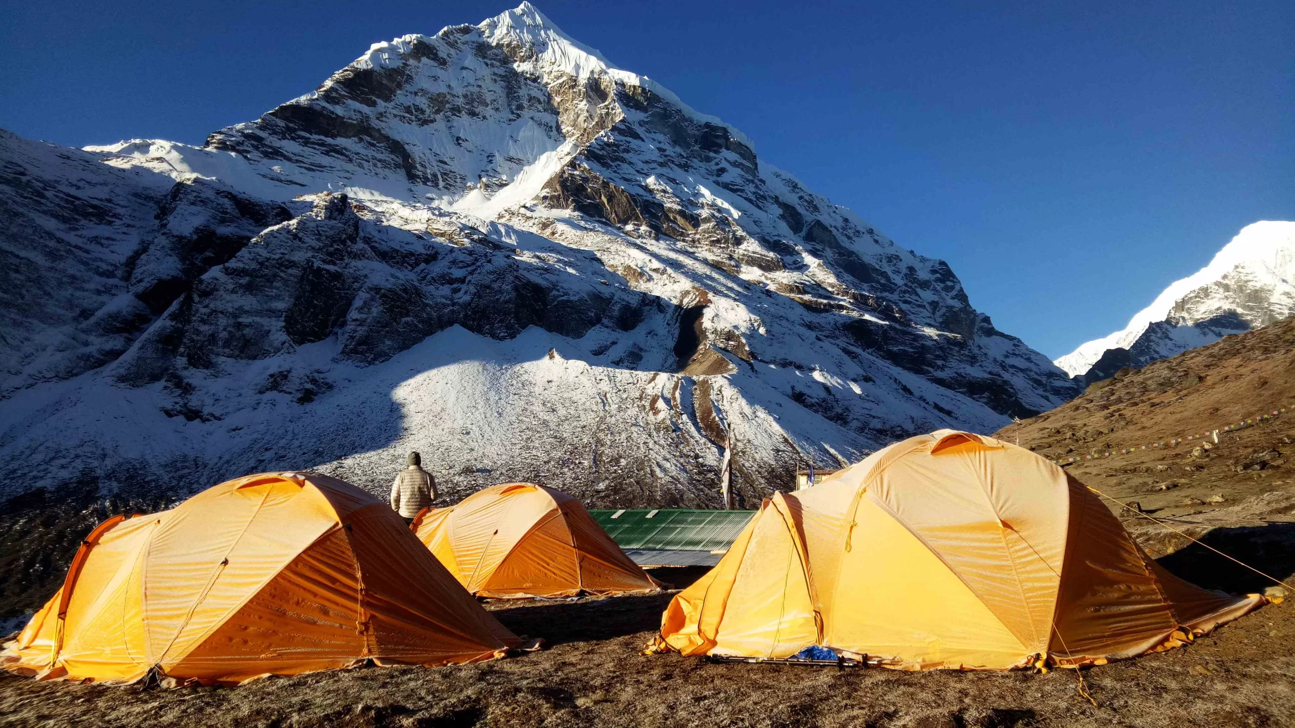
- All inclusive trekking arrangements with all meals, camping arrangements in high quality Mountain Hardware TRANGO 3.1 tents for two, comfortable mattresses, internal liners, separate dinging tents with folding tables & chairs, separate toilet tents with folding seats, fully equipped mesh tent, Sherpa staff tents, etc.
- Trekking permit with all necessary documentation fees.
- Meera Peak Climbing permits from Nepal Mountaineering Association.
- Climbing fees & equipment allowance for Mountaineering Guide
- Insurance for all climbing and Kitchen staff.
- Comprehensive medical kit and portable hyperbolic chamber
Cost Excludes
- International airfares and airport departure taxes.
- Hotel accommodation & Meals in Kathmandu.
- Airfare for sector Kathmandu / Lukla / Kathmandu.
- Nepal visa fees.
- Personal Climbing Gears, Sleeping bags, Down jacket, etc. (See List)
- Items of personal nature such as bar bills, laundry, telephone calls, Internet, extra mileage, personal gratuities as tips to guides, porters, Sherpas, etc.
- Personal Insurance for Guests
Availability
Book this trip with us from the following dates. For Custom Trips or general inquiries, Contact Us.
Departure Date
Availability
Action
Dec 07 (Thursday)
49 Slots left
Dec 08 (Friday)
20 Slots left
Dec 09 (Saturday)
50 Slots left
Dec 10 (Sunday)
100 Slots left
Dec 11 (Monday)
200 Slots left
Reviews
Maps
















No Reviews Found